

Buying a New Car: Insider Tips
- Written by: The Times
Buying a new car is one of the largest purchases many Australians make outside buying a home. Yet despite the amount of money involved, countless buyers walk into dealerships poorly prepared for the financial and psychological tactics that surround modern vehicle sales.
For some people, buying a car is exciting.
For others, it is intimidating, exhausting and financially dangerous.
Glossy showrooms, polished sales pitches and “today only” offers can distract buyers from the one figure that matters most: the real cost of ownership.
That means understanding far more than the advertised price on the windscreen.
The real numbers involve the “walk out the door” price, finance costs, depreciation, insurance, servicing, fuel, resale value and sometimes hidden extras quietly added during negotiations.
Many Australians focus heavily on the monthly repayment figure rather than the total transaction cost. Dealers know this.
A salesperson may ask early in the process: “What weekly repayment are you comfortable with?”
That question benefits the dealership more than the buyer.
Once negotiations become centred around repayments instead of total purchase price, expensive finance terms and unnecessary add-ons can be hidden within manageable weekly figures.
A buyer may walk away believing they secured an affordable deal while actually paying thousands more over the life of the loan.
Experienced buyers instead focus on the complete “drive away” or “walk out the door” figure.
That number includes the actual total amount required to legally own and drive the vehicle away from the dealership.
It may include registration, compulsory third-party insurance, stamp duty, dealer delivery charges and accessories.
Dealer delivery charges deserve particular attention.
Many Australians are surprised to discover “dealer delivery” can add thousands of dollars to a vehicle purchase. The term sounds unavoidable and official, but some components may be negotiable depending on the market and the dealership’s appetite for a sale.
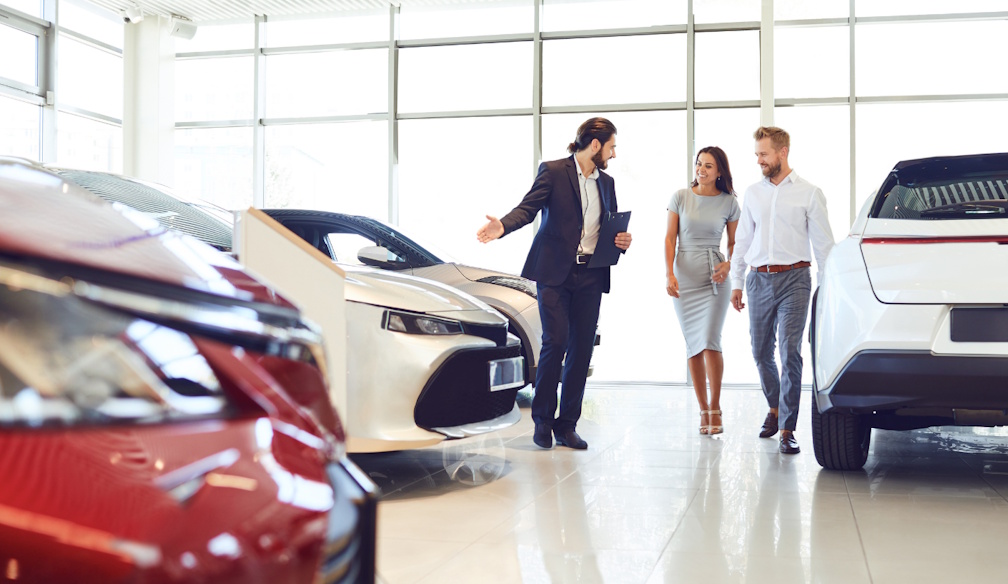
The best negotiating position often belongs to the buyer willing to leave.
That may sound simplistic, but experienced sales managers understand many customers become emotionally attached to a particular car before negotiations begin. Once emotionally committed, buyers become more vulnerable to pressure tactics.
Sales staff are trained to identify emotional buyers.
They know families under time pressure, buyers excited about a new model or customers worried about missing out may accept pricing they would otherwise reject.
"Walking away restores leverage."
In many cases, dealerships contact hesitant buyers later with improved offers, additional accessories or discounted finance terms.
Timing also matters.
Dealerships operate around monthly, quarterly and yearly sales targets. Buyers shopping near the end of those periods may find sales managers more flexible because manufacturers often provide incentives based on total vehicles sold.
A vehicle sitting on a showroom floor costs money every day.
That creates opportunity for informed buyers.
Another important tactic is separating trade-in negotiations from the new vehicle price.
Many dealerships blend the two transactions together, making it difficult to determine whether the buyer is genuinely receiving value. A dealership may offer a seemingly generous trade-in price while quietly reducing discounts on the new vehicle itself.
Smart buyers often obtain independent trade-in valuations before entering negotiations.
Some even sell privately instead.
Private sales can deliver thousands more than dealership trade-ins, although they involve extra effort, advertising, inspections and potential safety concerns when dealing with strangers.
Then comes the finance office — sometimes where dealerships make their largest profits.
After negotiating the vehicle price, buyers are commonly introduced to finance and insurance managers offering extended warranties, paint protection, fabric protection, rust protection, tyre insurance, loan insurance and service packages.
Some products may offer value for certain buyers.
Many do not.
Paint protection is a classic example. Professional aftermarket ceramic coatings can sometimes outperform dealership protection packages costing thousands of dollars less.
Extended warranties require careful reading too.
Consumers should examine what is actually covered, where repairs can occur, claim limits and exclusions. Some factory warranties are already lengthy enough that additional coverage offers limited practical benefit.
Finance itself deserves scrutiny.
Car loans with long repayment periods may produce affordable monthly repayments while leaving owners trapped in negative equity. Negative equity occurs when the vehicle is worth less than the outstanding loan balance.
This situation is increasingly common.
Modern vehicles depreciate rapidly, particularly during the first few years of ownership.
The old saying that a new car loses value “the moment you drive it off the lot” remains broadly true.
Depreciation is often the single largest cost associated with vehicle ownership.
A $70,000 SUV that loses 20 per cent of its value in the first year has effectively cost its owner $14,000 in depreciation alone — before fuel, insurance, servicing or finance interest are considered.
Luxury European vehicles often suffer particularly severe depreciation once warranty periods expire.
Meanwhile, brands with strong reliability reputations — traditionally Japanese manufacturers such as Toyota — frequently retain value better in the Australian market.
Chinese manufacturers present a newer question mark.
Their aggressive pricing and growing quality improvements have reshaped the market dramatically. However, long-term resale values remain less predictable because Australians do not yet fully know which brands will maintain strong dealer networks and long-term support.
Depreciation is influenced by several factors.
Brand reputation matters.
Reliability matters.
Fuel economy matters.
Warranty length matters.
Market popularity matters.
Fleet sales matter too.
Vehicles heavily sold into rental or fleet markets sometimes experience weaker resale values because large numbers later flood the second-hand market simultaneously.
Colour even plays a role.
Neutral colours such as white, silver, grey and black traditionally retain broader resale appeal than unusual colours.
Technology changes are now influencing depreciation faster than ever before.
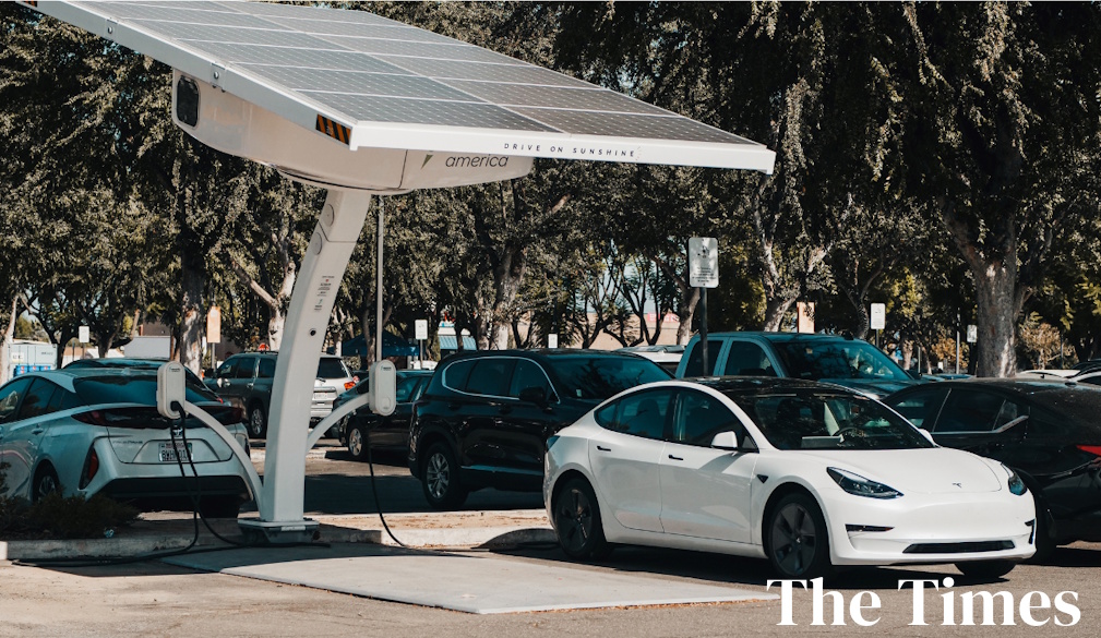
Electric vehicles illustrate this clearly.
Rapid battery improvements, falling EV prices and increasing competition mean some earlier electric models have depreciated sharply as newer vehicles offer better range and technology at lower prices.
This has made some buyers cautious.
Others see opportunity in used EVs becoming increasingly affordable.
Buyers also need to understand replacement costs beyond the purchase itself.
Insurance premiums for some vehicles — particularly EVs and performance cars — can be surprisingly high. Parts availability, repair complexity and accident repair costs all influence premiums.
Servicing plans should also be examined carefully.
Some manufacturers now offer capped-price servicing programs, while others impose surprisingly expensive maintenance schedules. European prestige vehicles can become particularly costly outside warranty coverage.
Then there is the issue many Australians underestimate most: emotional buying.
People often buy vehicles for identity and aspiration rather than practical need.
That is understandable. Cars are emotional products.
Manufacturers spend billions creating emotional appeal through design, advertising and branding. Buyers may imagine lifestyle transformation through vehicle ownership — adventure, status, freedom or success.
But financial reality eventually arrives.
Many households become overextended buying vehicles that consume too much income through repayments, insurance, fuel and depreciation.
One useful guideline often discussed by financial advisers is that a car is fundamentally a depreciating asset.
Unlike property or investments, vehicles almost always lose value over time.
That does not mean buying a good car is a bad decision.
Reliable transport is essential in Australia.
But it does mean buyers should approach vehicle purchases with clear eyes rather than showroom excitement alone.
The most financially successful buyers are often not the wealthiest people in the dealership.
They are the calmest.
They research thoroughly.
They compare finance independently before entering the showroom.
They know current market prices.
They avoid emotional urgency.
And most importantly, they understand that the real price of a car is not the sticker price.
It is the total cost of owning it after the excitement of delivery day has faded.