

Thinking of Selling Your Home? Here’s What You Need to Know
- Written by: The Times

Selling a home is more than just putting up a “For Sale” sign. It’s a strategic process that involves preparation, pricing, and negotiation - all aimed at getting the best value for your property. Let’s go through the most important steps to take before, during, and after listing your home. Explore available services and success stories at https://perthbuyersagents.com.au/.
Evaluate Your Financial Position Before You List
Before entering the market, it’s essential to understand where you stand financially. Start by figuring out how much equity you have. This is the difference between your current mortgage balance and your home’s potential market value. This figure will give you a clearer sense of what you could earn from the sale.
You should also budget for all the associated selling expenses. These can include real estate agent commissions, repairs, staging costs, legal fees, and moving costs. If you’re buying another home or renting after selling, consider how much you’ll need for a down payment or security deposit.
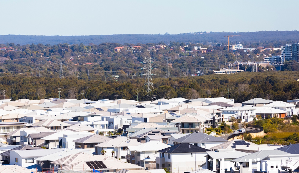
Consider How Location Influences Buyer Interest
Your home’s location plays a huge role in how it’s perceived by potential buyers and how much they’re willing to pay. Properties in high-demand areas tend to sell faster and at higher prices, while homes in quieter or more remote neighbourhoods may need more creative marketing or pricing strategies.
For example, Sanctuary Point houses for sale in Australia often cater to buyers looking for serene, waterfront living. If you’re selling in a similar location, highlight lifestyle benefits such as outdoor activities, community vibe, and unique surroundings. Adjusting your listing to emphasise location can make your offer far more compelling to the right audience.
Choose a Real Estate Agent You Can Trust
Selling a home without an experienced real estate agent can be risky. The right agent brings market expertise, pricing guidance, and negotiation skills that can help you secure a better deal. Look for someone who knows your neighbourhood well and has a solid track record with properties similar to yours.
Beyond managing showings and listings, a good agent will give you honest advice, provide data-driven market analysis, and guide you through inspections and paperwork. Don’t hesitate to interview a few professionals to find one that aligns with your goals and communication style.
Strategically Set Your Asking Price
Your home’s price can either attract buyers or push them away. That’s why it’s so important to approach pricing with strategy, not guesswork. Research recent sales in your area, paying close attention to homes that are similar in size, condition, and location. This will help you set a realistic price range that reflects current market demand.
A well-priced home generates more interest and can lead to multiple offers. Overpricing might cause your listing to sit too long, leading buyers to assume something’s wrong. Pricing fairly from the start positions your home competitively and opens the door to quicker negotiations and a smoother sale.
Make Your Home Buyer-Ready
To appeal to buyers, your home should be clean, clutter-free, and inviting. Start by tidying up the yard, trimming bushes, and making sure the exterior is well-kept. Inside, remove personal items, clean every surface, and consider repainting rooms in neutral tones to help buyers imagine themselves in the space.
Staging can also boost buyer interest. Simple changes like new throw pillows, updated lighting, or rearranged furniture can make rooms feel more spacious and functional. Addressing minor repairs ahead of time shows that the home has been well cared for and reduces the chance of surprises during inspection.
Use Targeted Marketing to Reach the Right Audience
Effective marketing is more than just listing on a real estate website. You need to showcase your property’s best features through professional photography, detailed descriptions, and possibly virtual tours. Great visuals make your home stand out, especially in online listings where buyers form first impressions quickly.
Your agent should also implement a marketing strategy that includes social media promotion, email campaigns, and neighbourhood outreach. For unique properties, like coastal homes or fixer-uppers, targeting niche audiences can make a big difference.
Lastly
Selling a home involves making smart choices and preparing every step of the way. From pricing and presentation to marketing and negotiation, each part of the process matters. Tailoring your approach to your market and goals gives you the best chance at a successful and profitable sale.